Near record warmth, clear skies Tuesday in the Hudson Valley
Storm Watch Team Meteorologist Alex Calamia says Tuesday will be mostly sunny and back to bluer skies.
More Stories


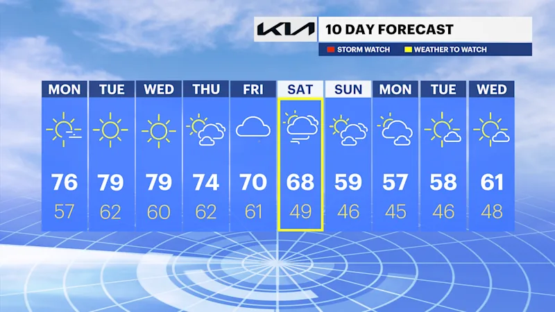
Storm Watch Team Alex Calamia says to expect near-record-high temperatures on Tuesday and Wednesday. Rain returns Friday and Saturday, then it'll feel like autumn for a while.
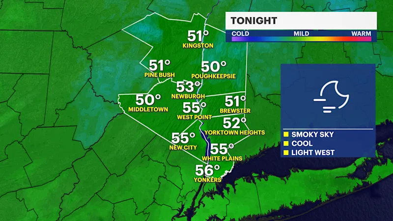
TONIGHT: Patchy morning fog. Mild. Lows in the mid-50s.
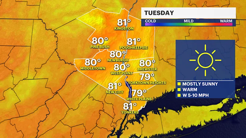
TUESDAY: Mostly sunny and near-record warm. The record is 80. High near 80.
TUE NIGHT: Clear and milder. Lows in the low 60s.
WEDNESDAY: Sunny and just as warm. The record is 83. Highs around 80. RECORD: 84 (2007). Lows near 60.
THURSDAY: Sun and clouds. Highs around 74 degrees. Lows near 62 degrees.
FRIDAY: Mostly cloudy with a couple of showers possible later in the day. Highs around 70 degrees. Lows near 61 degrees.
SATURDAY: WEATHER TO WATCH -- Periods of showers and wind. Otherwise, cloudy with Highs in the upper 60s. Lows near 50.
SUNDAY: A fall feel. Highs near 60F with increasing sunshine. Chilly overnight with lows in the 40s.
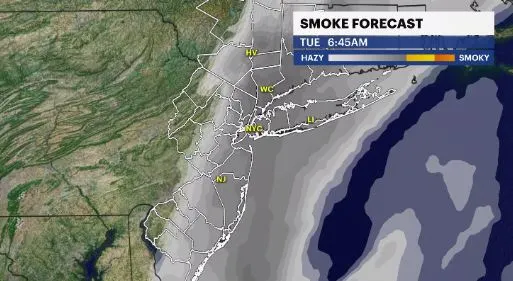
Wildfire smoke has been slowly moving down from Canada over the course of Saturday to Sunday and it has made the skies a little hazy around the tri-state area.
While the smoke is expected to linger around through Tuesday afternoon, it is not expected to reach the levels where advisories will be issued for poor air quality and the public health at risk.