Beautiful evening with more great weather on the way
Low humidity, warm temperatures and plenty of sunshine will continue to be the local weather theme over the next few days until scattered rain chances return early next week.
More Stories


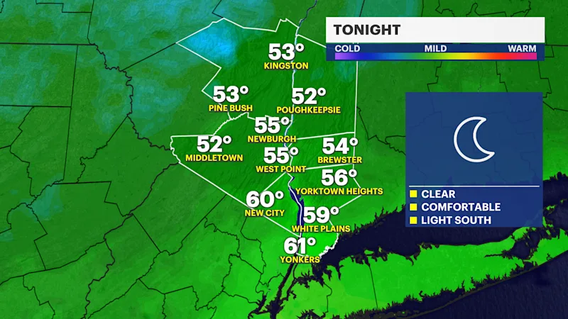
THIS EVENING AND OVERNIGHT
After spectacular weather today, this evening will be just as nice with a mostly clear sky, low humidity and temperatures cooling down into the 60s. It will stay mostly clear and cool overnight with lows in the 50s to low 60s into early Friday morning.
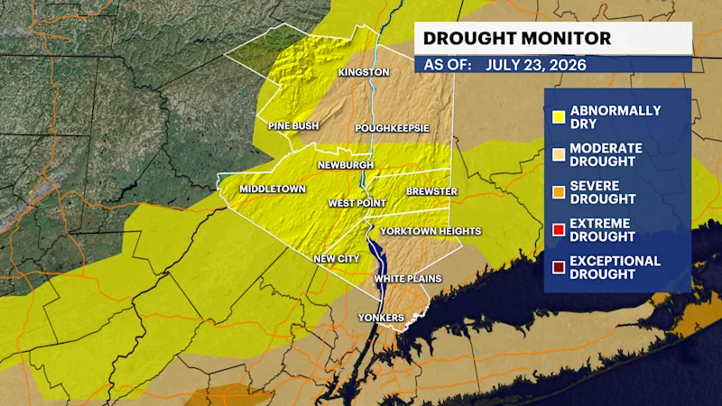
DROUGHT UPDATE
We are seeing some improvements to the level of drought. That said, abnormally dry to scattered moderate drought conditions still persist across Westchester and the lower Hudson Valley.
TUESDAY'S STORM RECAP
Heavy rain and flooding plagued the region on Tuesday. Tarrytown saw nearly 5 inches of rain!

The National Weather Service confirmed an EF-0 tornado touched down just after 4 p.m. Tuesday with peak winds of 85 mph. The tornado carved a path nearly 2 miles long from Purchase to Rye Brook, leaving downed trees at Manhattanville College and across surrounding neighborhoods.


EXTENDED FORECAST
TONIGHT: Clear and comfortable with low temperatures in the 50s to lower 60s. Wind: Light out of the south.
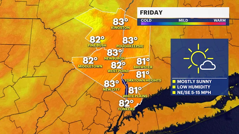
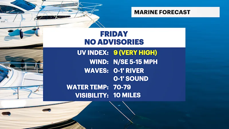
FRIDAY: Mostly sunny and comfortable with highs around 83 degrees. Lows near 62 degrees.
SATURDAY: Mostly sunny and staying comfortable with highs around 83 degrees. Lows near 64 degrees.
SUNDAY: Mostly sunny and nice with highs around 83 degrees. Lows near 66 degrees.
MONDAY: Sun and clouds. A few scattered showers possible, mostly late in the day. Highs around 85 degrees. Lows near 68 degrees.
TUESDAY: Partly sunny to mostly cloudy with scattered showers and a thunderstorm possible. Highs around 84 degrees. Lows near 67 degrees.
WEDNESDAY: Sun and clouds. Scattered lingering showers possible. Highs around 81 degrees. Lows near 68 degrees.
THURSDAY: Sun and clouds. Highs around 82 degrees. Lows near 68 degrees.