Today’s Tides
Loading date...| Time | Tide | Height |
|---|---|---|
| Loading tides... | ||
Tomorrow’s Tides
Loading date...| Time | Tide | Height |
|---|---|---|
| Loading tides... | ||
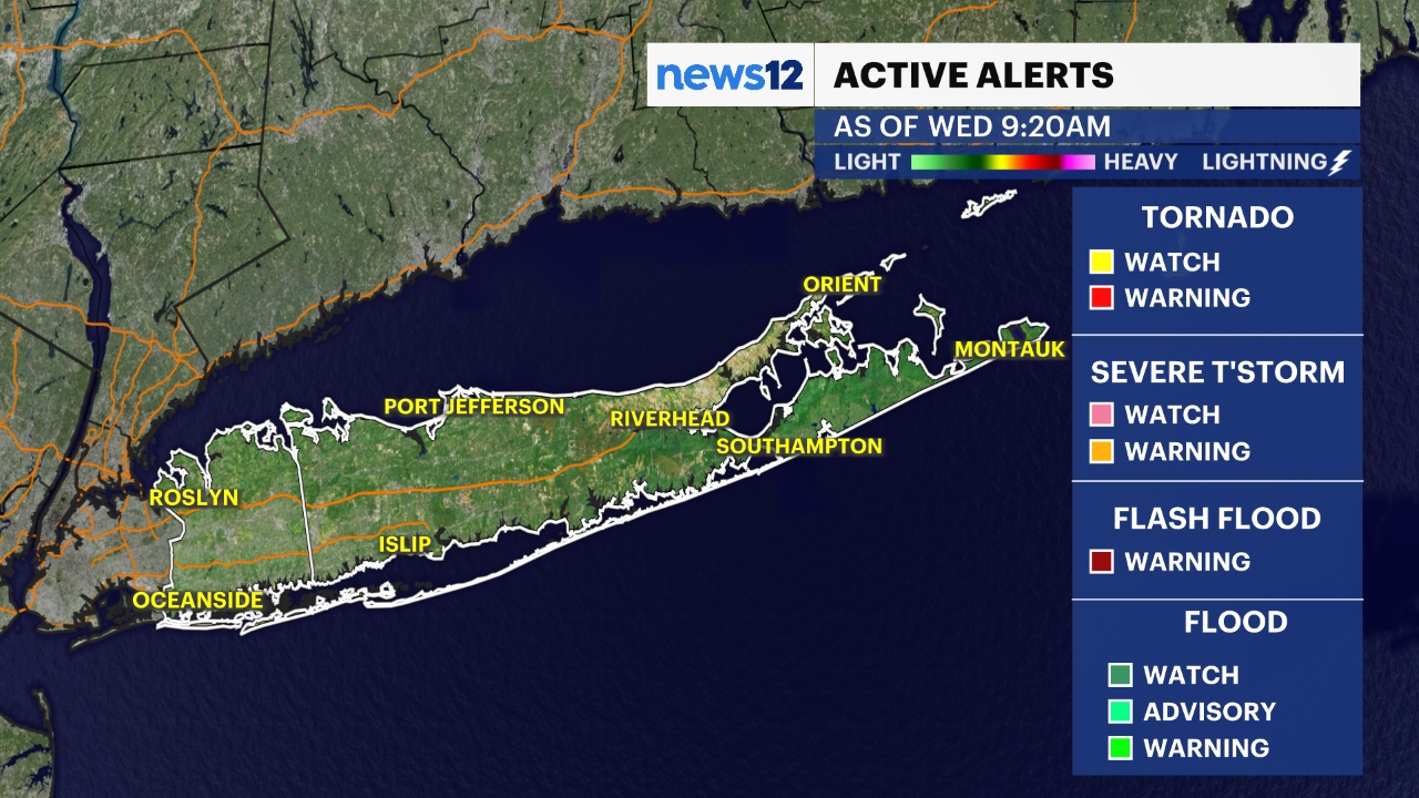
Mostly cloudy, with some fog. Showers become likely overnight, with a few rumbles of thunder possible. Downpours could bring brief, locally heavy rain, so watch for some ponding or minor street flooding in the usual poor-drainage spots. This isn't expected to be a widespread flooding event.
Showers and thunderstorms are likely in the morning, with brief heavy downpours. There is a marginal risk of a few stronger storms. Sunday will be warmer and more humid. There is a risk of an isolated storm in the afternoon, but coverage doesn't look too widespread. Temperatures will climb into the upper 70s and low 80s on southwesterly winds.
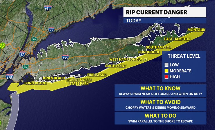
Sunday: Rip current risk climbs to moderate as southerly winds pick up, with swells carrying more of a southerly and easterly push. Combined with the chance of afternoon thunderstorms, boaters should watch conditions closely and swimmers should stick to guarded beaches and heed any flag warnings.
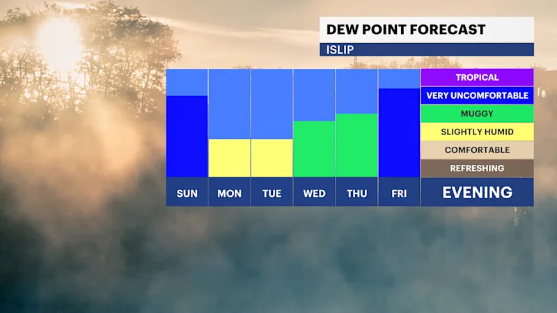
Dry weather, lower humidity and sunny skies arrive for Monday. This weather will stick around for most of next week. It will feel more humid, with rain and storms returning around Thursday and Friday.
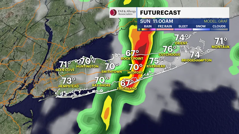
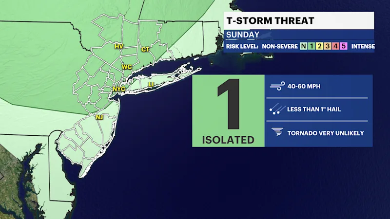
Here is a look at the latest future radar for Long Island highlighting spotty rain chances over the weekend.
These are the latest boat and beach maps. Check out more of the local beach weather forecast and tides here.