STORM WATCH: Coastal storm set to bring some rain & wind to the Hudson Valley by Sunday night
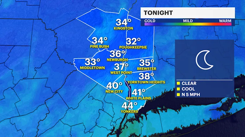
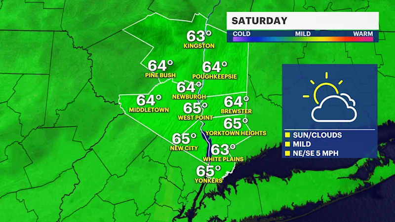
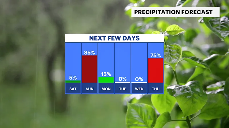
Temperatures remain on the milder side for Saturday, with dry weather. Travel disruptions may occur Sunday into early Monday due to impacts from the coastal storm nearby.
More Stories




White Plains Information
FORECAST:
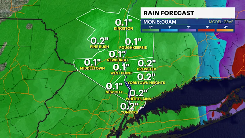
The latest guidance from Friday is trending toward a weaker but faster storm for Sunday. The track will be either right over the tri-state area or slightly east and offshore. This could mean the heaviest rainfall is outside of the Hudson Valley. Ranges are from about a half inch to 2-3" depending on this the low tracks and there is still room for it to shift back west.
There is a marginal risk for flash flooding through the entire tri-state area currently. Urban areas, poor drainage locations, and flood-prone roadways would be most susceptible to issues.
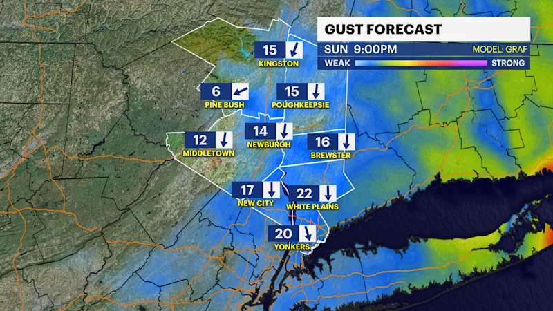
Gusty winds are also expected. Gusts up to 30 mph could occur Sunday evening and overnight.
Coastal flooding looks spotty and minor at this point. The storm will be out of here before the full moon occurs on Tuesday.
With some uncertainty regarding how close it tracks to the area, keep in mind that impacts may change. The forecast will be refined over the next 24 hours.
Once the storm exits early Monday, much colder and breezier conditions return for the rest of next week.
The next chance of rain is on Thursday for Thanksgiving.
BOTTOM LINE:
The Hudson Valley stays dry and mild through Saturday. Sunday afternoon through Monday will have weather that could impact the holiday travel and/or commutes to work.