Sunny and milder today before rain returns for another weekend in the Hudson Valley
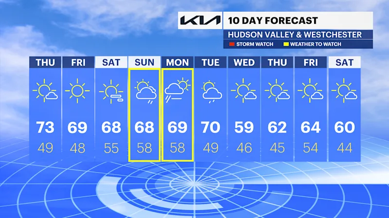
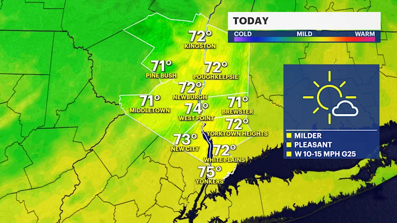
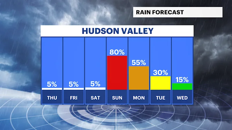
Warmer weather is in store today with highs in the mid to upper 70s. It stays pleasant and dry through Saturday before rain chances increase on Sunday.
More Stories





White Plains Information
FORECAST
Today, temperatures will recover nicely to the mid to upper 70s with ample amount of sunshine. The picture-perfect stretch of sunshine and comfortably mild temperatures continues into Saturday. A veil of high thin clouds filters in on Saturday ahead of rain on Sunday.
Confidence is growing for another weekend of rain and a low risk of localized flash flooding. As of right now, the timing is Sunday evening into Monday morning with at least 1" of rainfall with locally higher amounts with any downpours.
TROPICS UPDATE
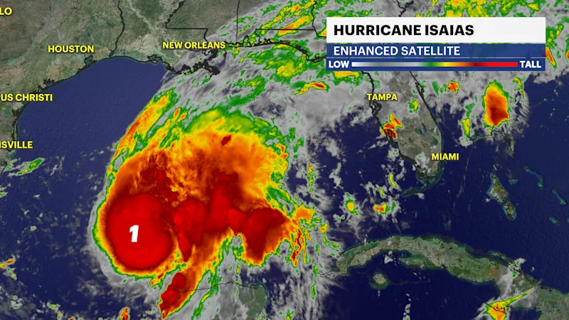
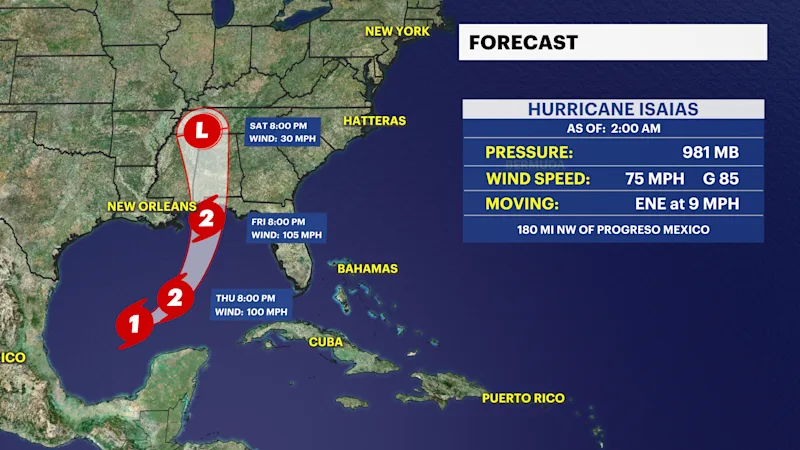
Hurricane Isaias formed last night and became the first hurricane of the Atlantic hurricane season. It is forecast to intensify to a Category 2 hurricane later today before making landfall along the Northern Gulf Coast Friday night into Saturday morning. After landfall, it is forecasted to weaken and track north, bringing tropical moisture to the region Sunday evening into Monday. It is still too early to determine the exact track, timing, and potential impacts of the remnants of Isaias. What we do know is there is a chance of some of that rain making it to the region on Sunday into Monday. This will come into better focus in the next day or so, closer to landfall.
Stay tuned to your News 12 team of meteorologists for updates.