Smoky skies continue to wrap up the week across the Hudson valley
The heat and humidity will not be nearly as intense today. However, wildfire smoke will drop air quality to unhealthy levels for the general public
More Stories


Air quality alert for the region until midnight tonight.
Canadian wildfire smoke will affect the region through the night, worsening our air quality to unhealthy levels.
Everyone should reduce long or intense outdoor activities. Take more breaks. Sensitive groups should move activities indoors or reschedule outdoor events for another day. If outdoor activity is unavoidable, take frequent breaks and move indoors if symptoms occur.
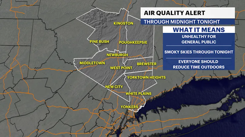
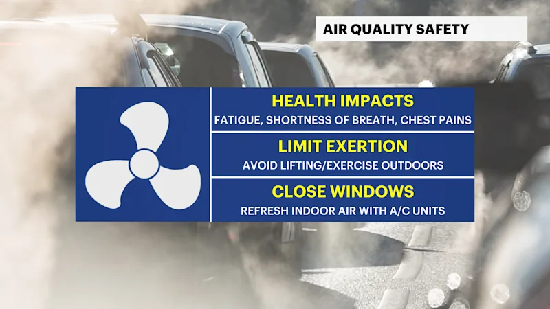
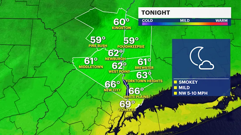
Hazy, smoky skies will persist through the evening as the air quality alert remains in effect until midnight. Expect conditions to stabilize gradually overnight with less intense heat and humidity.
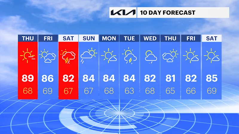
Smoky skies will clear by Friday afternoon, giving way to a mostly sunny day. Temperatures will be more comfortable, topping out in the mid-80s. Cloud cover will begin to increase late Friday night ahead of our next weather system.
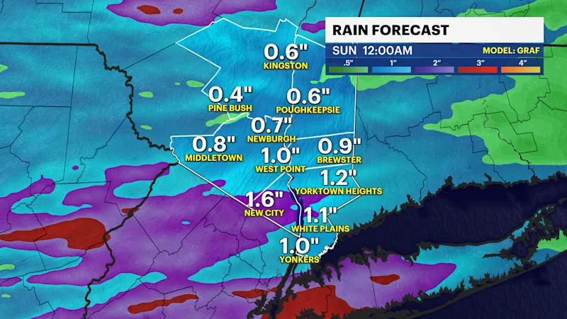
The weekend has big changes coming. A very moist air mass will likely create washout conditions on Saturday, as periods of storms are expected during the morning, afternoon, and evening. These storms, as of now, have a low risk of producing flash-flood conditions for the entire region.
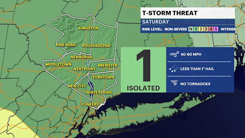
In addition, the Storm Prediction Center has issued a Day Three marginal risk for severe weather on Saturday. Any isolated strong or severe storm could produce damaging wind gusts from 40 to 60 mph, torrential downpours, and small hail.
Rain will possibly linger into Sunday morning before exiting by Sunday midday, giving way to sunshine and near-seasonable temperatures.