Pick of the week before more rain chances return closer to the weekend
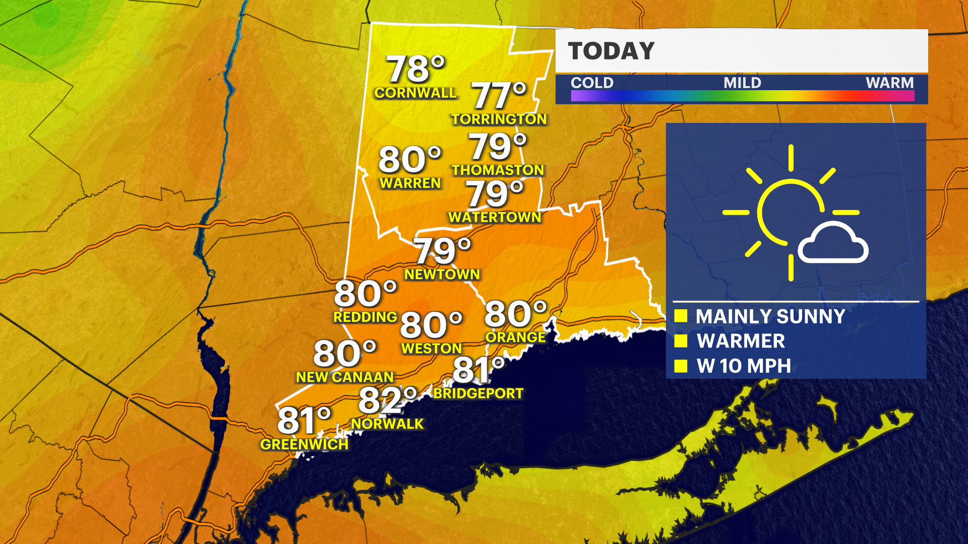
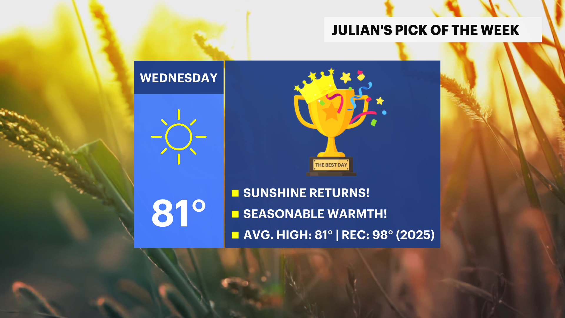
Near 80 with sunshine and low humidity earns today the gold medal.
More Stories



WHAT TO KNOW
Today's weather looks wonderful. Sunny and seasonably warm. Blue skies and a favorable breeze will get the afternoon temperatures back to where they should be this time of year, in the upper 70s and low 80s. Thursday looks good for the first half of the day. Sunny and warm. Clouds will begin to collect later in the afternoon.
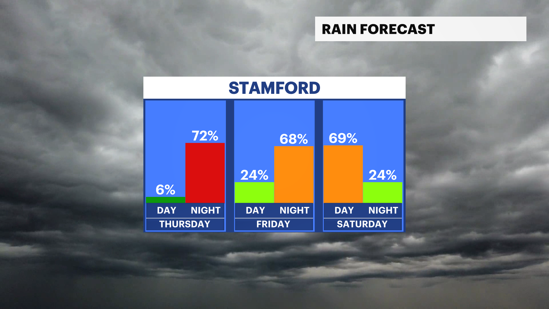
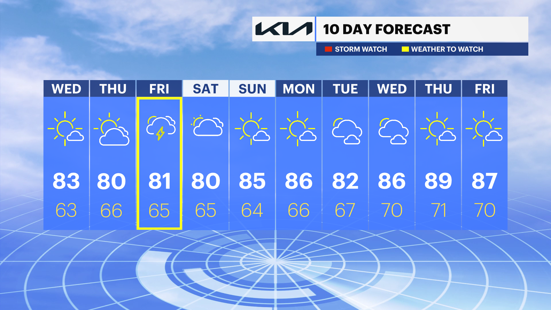
The News 12 Storm Watch Team will begin tracking more rain for very late Thursday night into very early Friday morning. Friday looks a little wishy-washy, with on-and-off showers in the forecast. Rain early on. Then a lull. Then, more showers are possible later in the day.
You may wake up to a few lingering showers very early Saturday morning, but the overall weekend weather pattern looks very good. Sunday is by far the drier of the two weekend days with middle 80s under a mix of sun and clouds.