STORM WATCH: Air quality alert reissued ahead of severe storm threat on Saturday
Air quality alert has been reissued until midnight tonight as wildfire smoky returns this evening. Severe storm threat is increasing for Saturday
More Stories


Alerts:
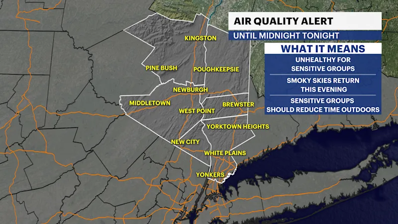
Air Quality Alert is in effect until midnight tonight for the region.
Air quality levels in outdoor air are predicted to be greater than an Air Quality Index value of 100 for the pollutant of Fine Particulates. The Air Quality Index, or AQI, was created as an easy way to correlate levels of different pollutants to one scale. The higher the AQI value, the greater the health concern.
When pollution levels are elevated, the New York State Department of Health recommends that individuals consider limiting strenuous outdoor physical activity to reduce the risk of adverse health
effects. People who may be especially sensitive to the effects of elevated levels of pollutants include the very young and those with preexisting respiratory problems such as asthma or heart disease.
Those with symptoms should consider consulting their personal physician..
Forecast:
Today:
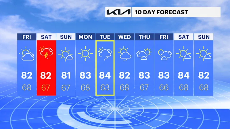
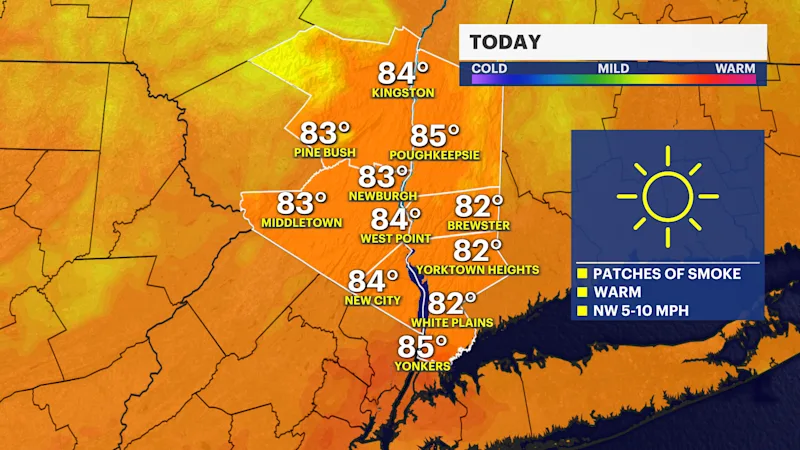
Air quality briefly improved earlier for today. However, it will be unhealthy for sensitive groups through the rest of the day and tonight, as wildfire smoke returns this evening. Temperatures will be in the low to mid-80s, with lower humidity throughout the day.
Tonight:
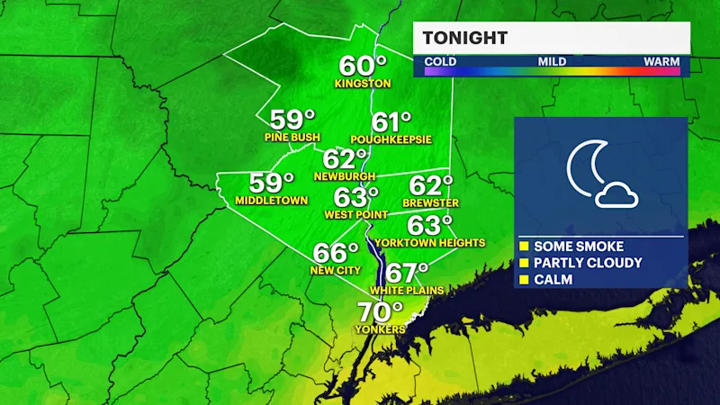
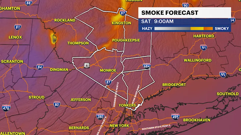
Smoky skies, mostly cloudy, and poor air quality are expected tonight. Expect skies to have a steady increase in cloud cover and temperatures in the mid-60s.
Severe Storms This Weekend:
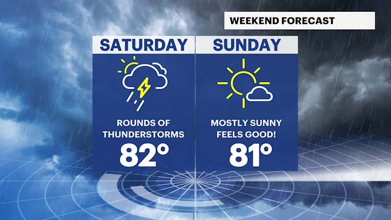
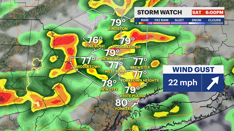
Major changes will take place on Saturday as a very moist air mass is expected to bring rounds of storms by the afternoon. Early in the day, there is uncertainty in storm/rain chances; however, this will be the best period of time to run any errands or take care of outdoor tasks. By the afternoon, strong and severe storms threaten the entire region.
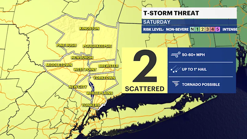
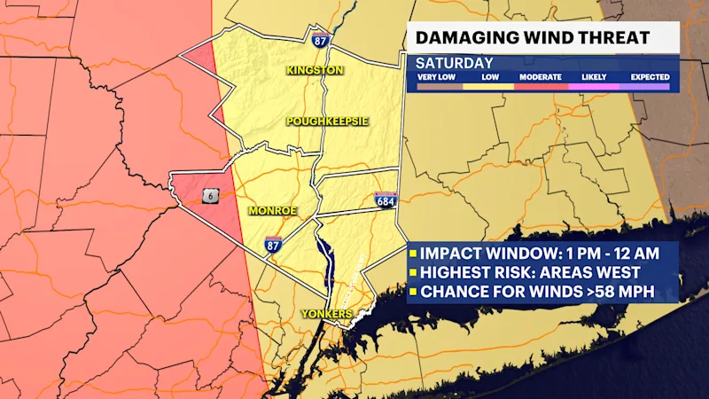
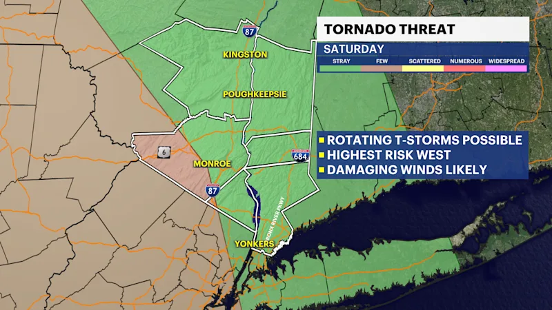
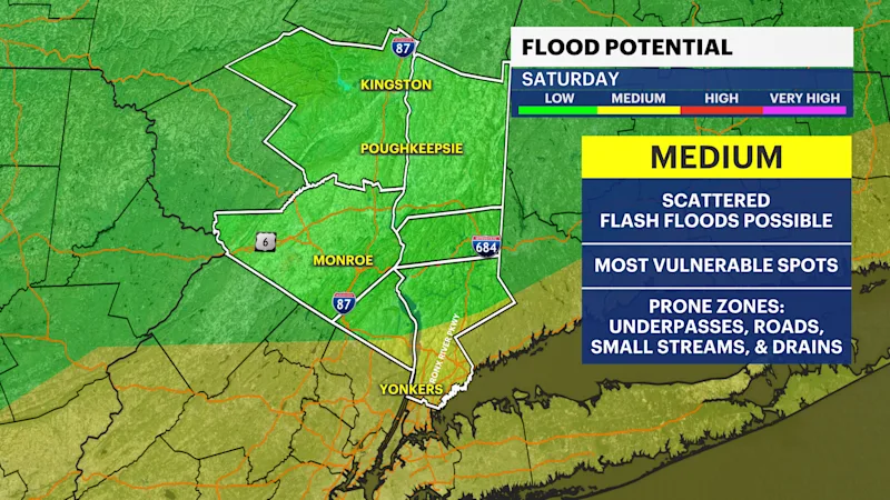
The Storm Prediction Center has placed a slight risk for scattered strong and severe storms, producing damaging wind gusts from 50-60 mph or higher, torrential downpours, large hail, and a tornado is possible, especially in the western areas of the region (Orange County). Stay weather aware throughout the afternoon and evening when these storms may fire off. In addition, there is a scattered risk for flash flooding in Westchester and Rockland Counties from the heavy rainfall expected, while the rest of the region could see more isolated flash flooding events.
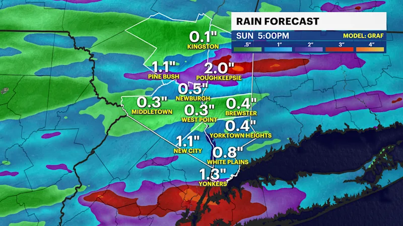
Rainfall amounts from this event can vary from 1" to 1.5" of rainfall, but there are some indications from recent data that 2" or more is possible, especially in Westchester and Rockland Counties where we expect flash flooding to be likely.
The storm system is expected to clear out by Saturday night. High pressure will then build behind it, leading to a beautiful Sunday on tap. Less humidity, dry, and sunny during the day. Great for any outdoor activities from start to finish.