Damp start expected for Earth Day in Connecticut
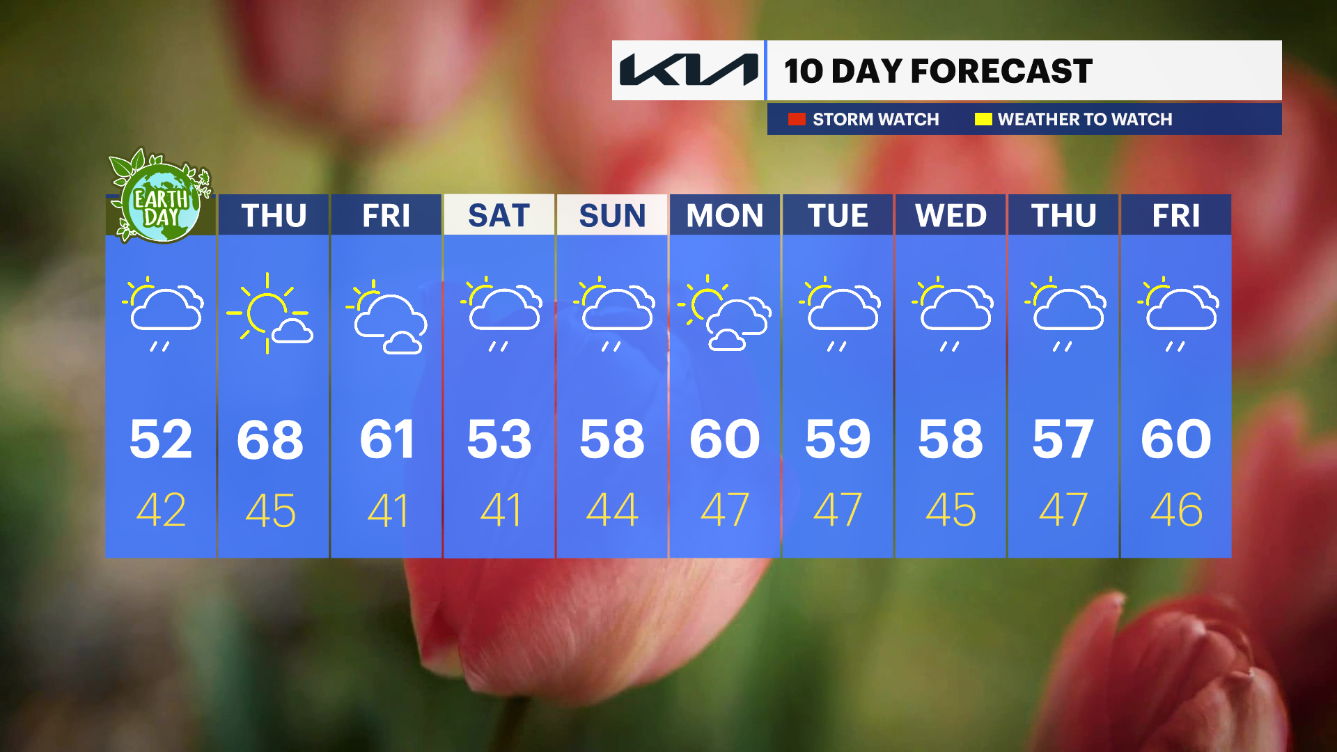
Temperatures will gradually warm up into Thursday with highs in the upper 60s.
Share:
More Stories
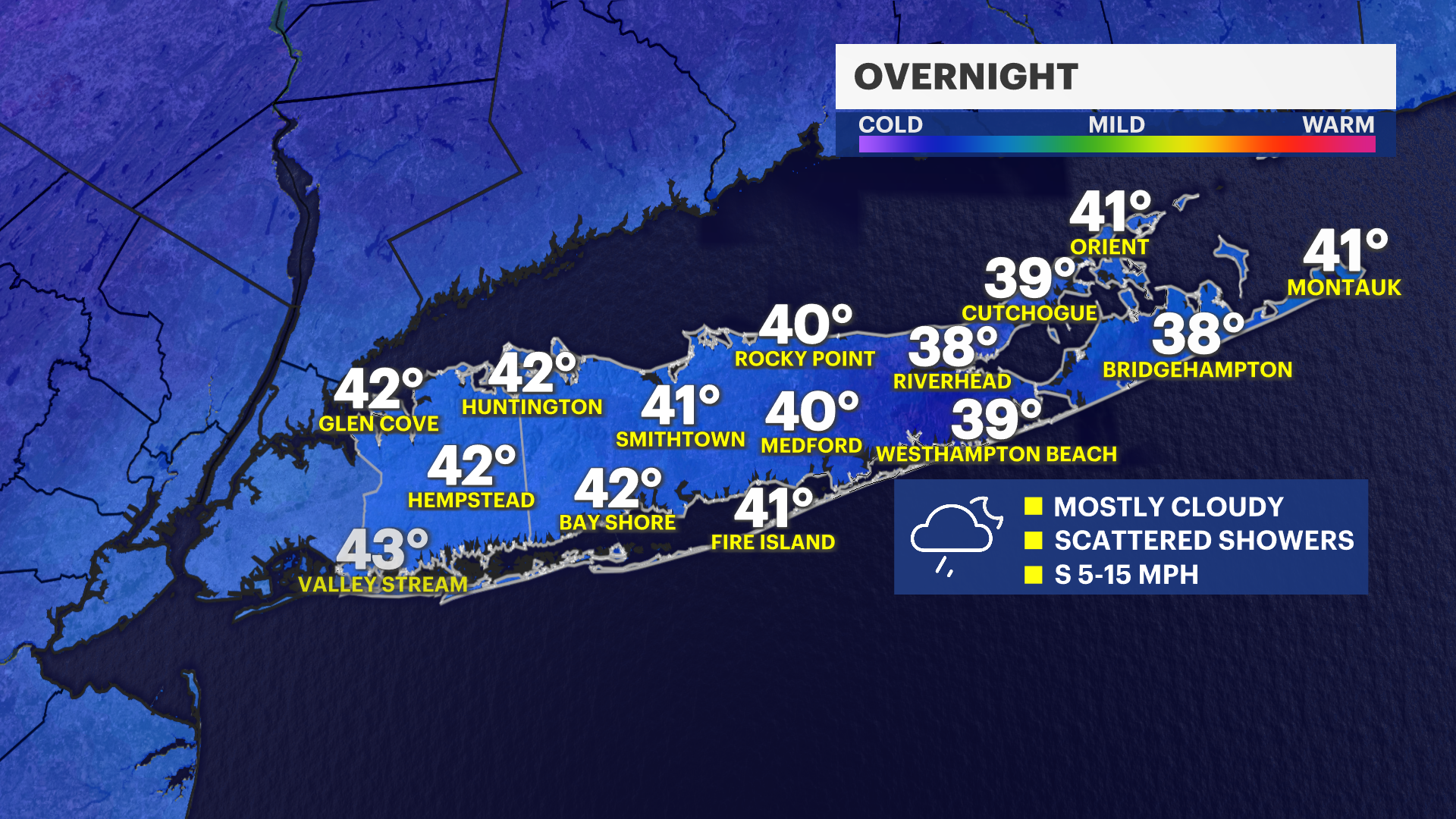
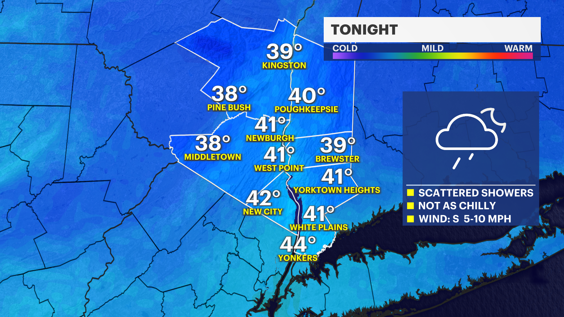
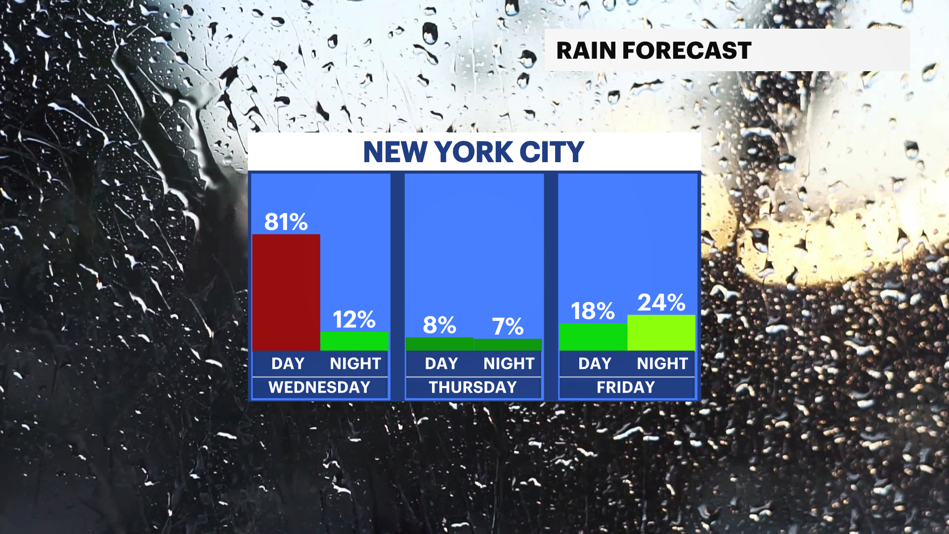
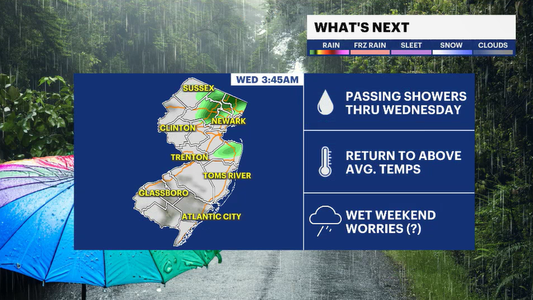

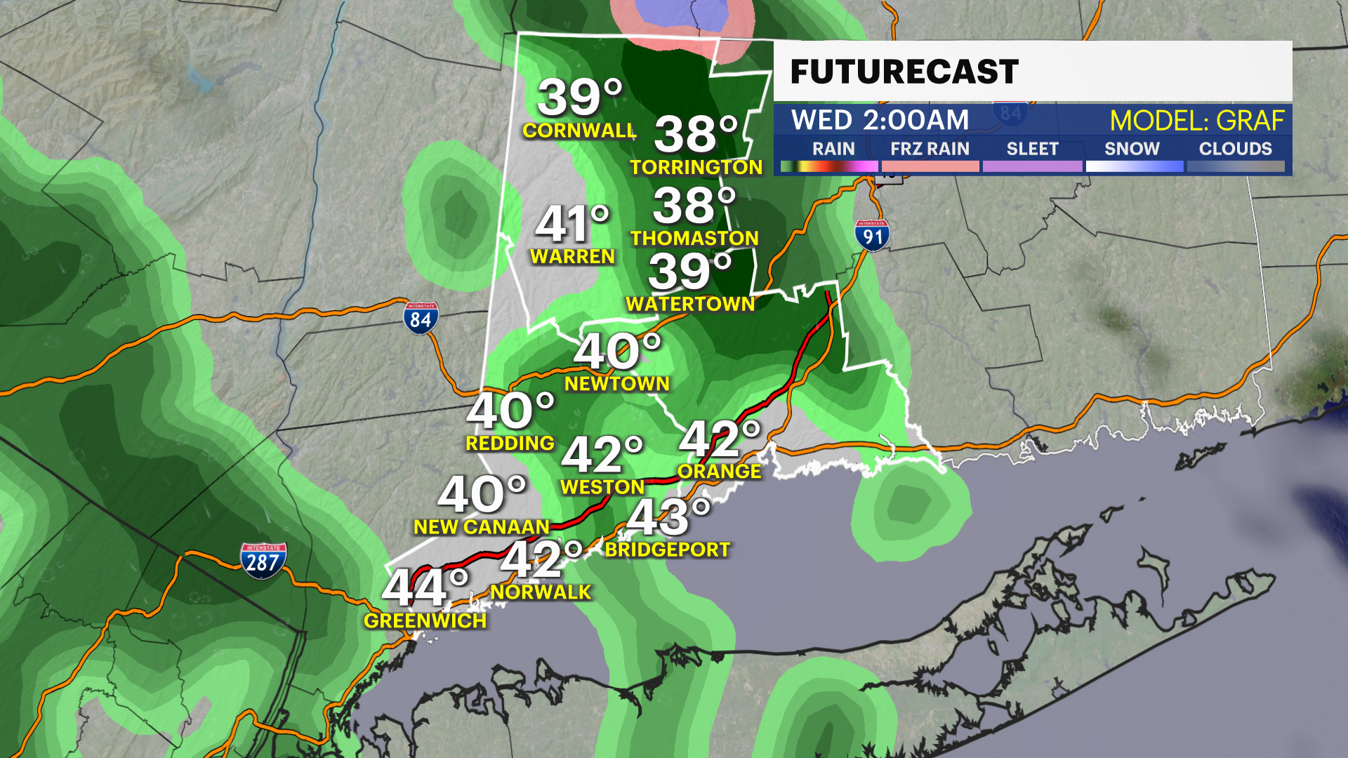
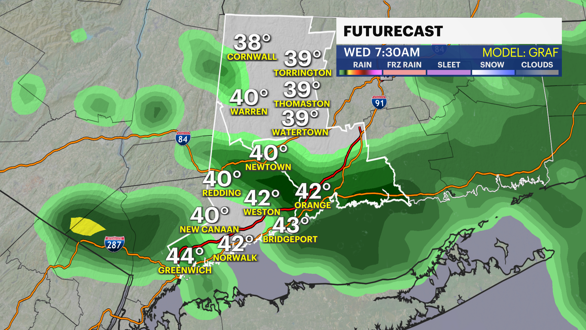
Grab the umbrellas and rain gear for Wednesday. It will be a damp start to Earth Day.
Look for some improvement a little after lunchtime. Gradual clearing will occur by the early evening. Temperatures are still running on the cooler side, with temperatures in the lower 50s for tomorrow. Conditions warm up more for Thursday.
Light showers will slide through early Friday, but there is a better chance of some rain returning for both Saturday and Sunday.
Temperatures stay seasonably cooler through the end of the month.
Stay tuned to News 12 Connecticut for forecast updates throughout the week regarding the timing of the weekend rain