Pockets of showers are possible this afternoon
Unsettled weather will linger through the next few days, and it may impact Mother's Day.
More Stories


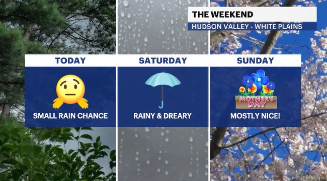
In the Hudson Valley, a rain chance wants to move in for the afternoon hours. It will be a small chance but still something to monitor and to keep an umbrella nearby for.
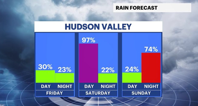
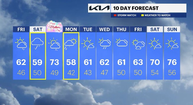
Unsettled weather, meaning a few systems will move through bringing rain showers and cooler temps, is coming for Saturday and Monday as well. Wet weather will return overnight Friday into Saturday with on and off rain through the midday to afternoon hours. Drier conditions are likely for Saturday night into Sunday. Another round of rain arrives late Sunday into Monday.
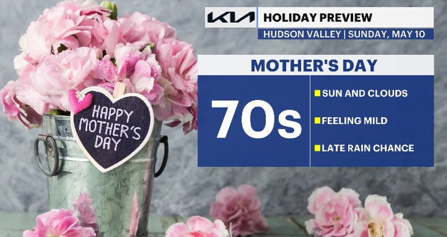
Mother's Day has the chance to be nice and mild, through at least much of the day. The previously mentioned rain chance develops in the evening hours. Clouds will increase through the day ahead of the rain's arrival.
Next week, don't expect much in terms of "nice and mild" weather. Sadly, there will be a few rain chances and cooler temps we'll have to deal with.
ALMANAC:
Average High: 67 | Average Low: 48
Record High: 84 (2024) | Record Low: 34 (1956)
Sunrise: 5:44 a.m. | Sunset: 7:59 p.m.
THE FORECAST:
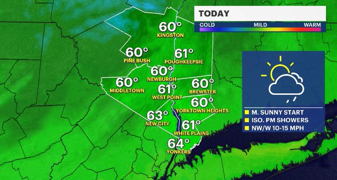
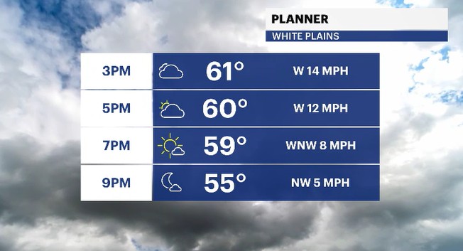
TODAY: Mostly sunny to a mix of sun and clouds with a spotty afternoon rain chance. Highs: low 60s.
TONIGHT: Scattered showers with patchy fog possible. Lows: mid-40s to low 50s.
SATURDAY: Rather cloudy with scattered showers through much of the day. Highs: upper 50s to low 60s. Lows: upper 40s to low 50s..
SUNDAY: MOTHER'S DAY - Mostly sunny to a mix of sun and clouds with a late day shower chance. Highs: low 70s. Lows: upper 40s.
MONDAY: Morning showers fade to sunny breaks in the afternoon. Highs: upper 50s. Lows: low 40s.